UN
4 Chapel Street
£ 110,000
Description
We don't have a Description for this property.
- Bedrooms
- 2
- Bathrooms
- 0
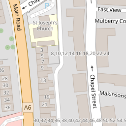
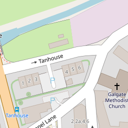
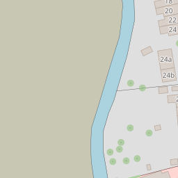
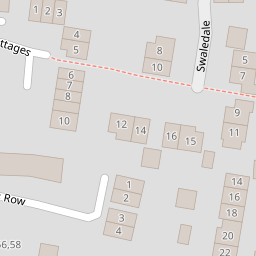
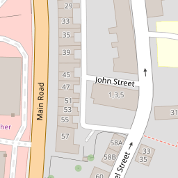
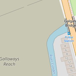
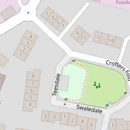
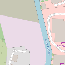

Leaflet © OpenStreetMap contributors
The heatmap indicates the level of crime in the area. The color of the heatmap indicates the crime severity and recency.
Metrics Year-on-Year
- Average area value
- 419,000.00 £Increased by 9.74 %
- Average area rental value
- 1,467.00 £/moDecreased by 6.50 %
- Est rental Yield
- 4.20 %Decreased by 14.81 %
- Crime Rate
- 187.00 %Unchanged by 0.00 %
from 381,826.00 £
from 1,569.00 £/mo
from 4.93 %
from 187.00 %
Nearby Schools
| Name | Type | Ofsted | Distance |
|---|---|---|---|
| Ellel St John The Evangelist Church Of England Primary School | Voluntary Aided School | Good | 0.09 KM |
| Galgate Children'S Centre | Children's Centre Linked Site | 0.10 KM | |
| University Of Lancaster | Higher Education Institutions | 1.91 KM | |
| Scotforth St Paul'S Church Of England Primary And Nursery School | Voluntary Aided School | Outstanding | 4.36 KM |
| Forton Primary School | Community School | Requires improvement | 4.36 KM |
Images
Nearby Streets
| Name | Average Price | Average Sqft | Distance |
|---|---|---|---|
| Ashley Gardens | £ 299,950 | 0 | 0.00 KM |
| Lime Avenue | £ 0 | 0 | 0.00 KM |
| M6 | £ 0 | 0 | 0.00 KM |
| Scotforth Road | £ 0 | 0 | 0.00 KM |
Nearby Transport
| Name | NLC | TLC | Distance |
|---|---|---|---|
| Lancaster | 2685 | LAN | 6.51 KM |
Nearby Listings
| Address | Price | Type | Score | Distance |
|---|---|---|---|---|
| Chapel Street, Galgate, Lancaster, Lancashire, LA2 | £ 180,000 | BUY | Unknown | 0.00 KM |
| Chapel Street, Galgate, Lancaster | £ 325,000 | BUY | 8 / 10 | 0.01 KM |
| Chapel Street, Galgate, Lancaster | £ 295,000 | BUY | 6 / 10 | 0.01 KM |
| Main Road, Galgate | Open plan terrace home | £ 160,000 | BUY | Unknown | 0.05 KM |
| Main Road, Lancaster | £ 165,000 | BUY | 5 / 10 | 0.05 KM |
Nearby Properties
| Address | Price | Distance |
|---|---|---|
| 6a Chapel Street | £ 75,550 | 0.00 KM |
| 2 Chapel Street | £ 86,500 | 0.00 KM |
| 8 Chapel Street | £ 118,000 | 0.00 KM |
| 52 Chapel Street | £ 106,000 | 0.00 KM |
| 38 Chapel Street | £ 112,000 | 0.00 KM |